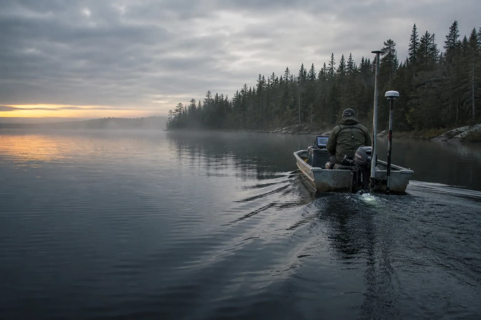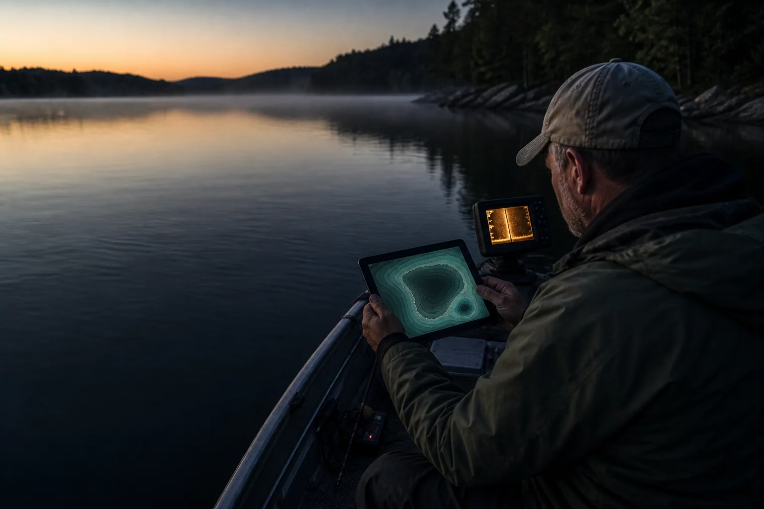
How to Read a Lake Depth Map Before You Launch
A practical way to read lake depth-map or depth-chart contours, recognize structure, and choose three places worth checking before you launch.
- Lake depth maps
- Fishing structure
- Trip planning
DepthScout Blog
Practical guides and field notes for understanding depth maps, judging the data behind them, and turning contour lines into a better plan on the water.
A practical way to read lake depth-map or depth-chart contours, recognize structure, and choose three places worth checking before you launch.
Lake depth maps describe bottom shape; nautical charts support navigation. See what each product shows, where live sonar fits, and which tool to use.
A repeatable way to find fishing spots on a real lake map by combining species, structure, depth options, access, weather, and a three-stop plan.
Why a lake depth map and today's sonar can show different numbers, how water level changes depth, and how to adjust a fishing plan cautiously.
Survey-backed contours begin with measured depths. Learn what the label supports, what it cannot promise, and how to judge a map quickly.
Why one lake has a detailed depth map while another has only a shoreline, and how surveys, files, metadata, licensing, age, and integration create the gap.