
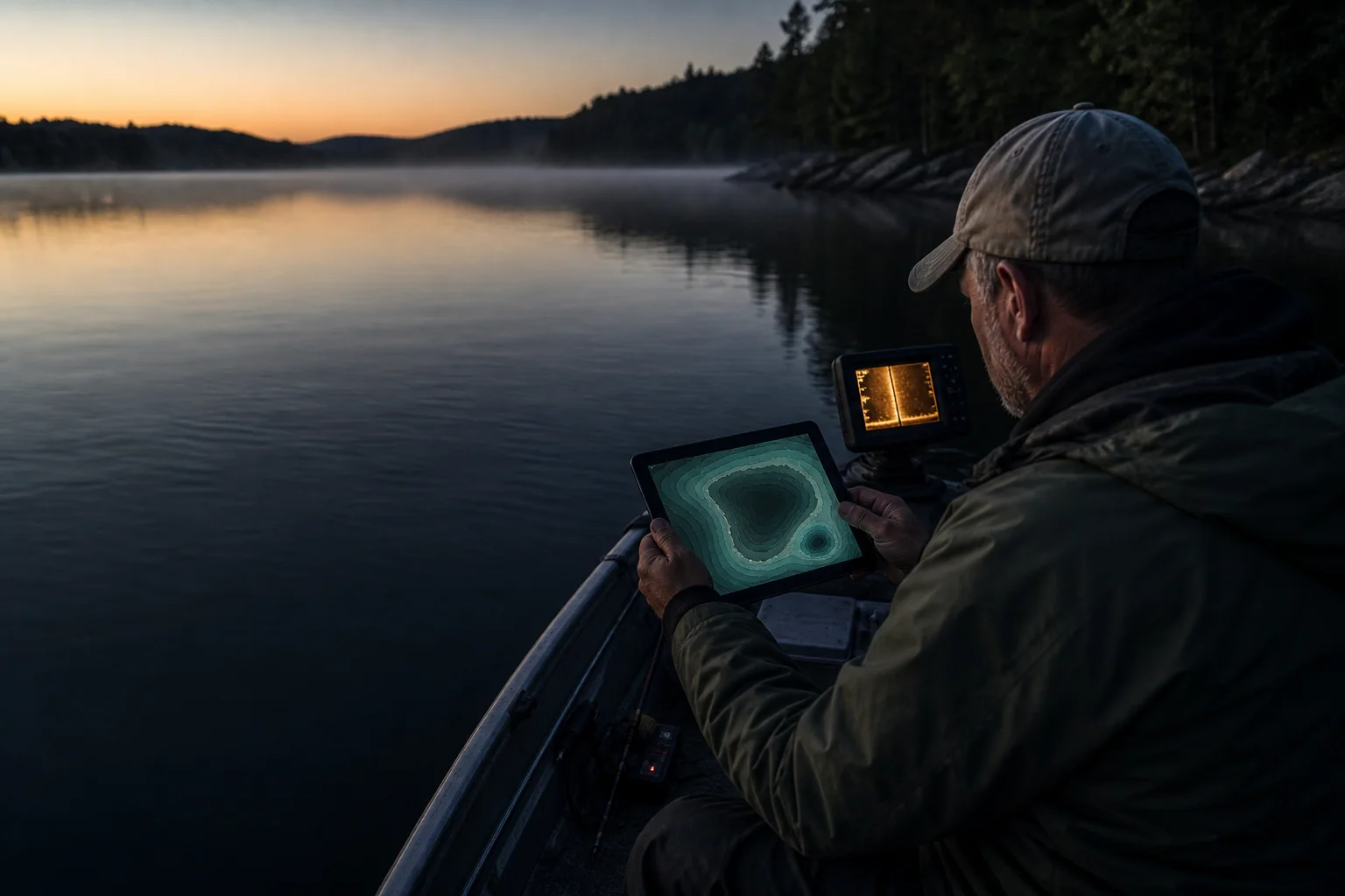
Maximum depth is usually the easiest number to find on a lake page. It is also one of the easiest numbers to misuse.
If the page says maximum depth: 60 feet, the useful conclusion is not “fish 60 feet.” It is “this basin has at least 60 feet of vertical range.” Your next job is to find where the bottom moves through that range, where usable structure touches it, and which depths make sense today.
That extra step matters because the deepest point may be a broad basin, a narrow creek-channel cut, or one small hole that occupies almost none of the lake.
The quick answer
Use maximum depth in this order:
- Treat it as the bottom of the map's scale.
- Find the deepest contour or label.
- Follow the contour lines back toward points, flats, channels, humps, or shore access.
- Compare those structures with season, weather, water level, and the species you are targeting.
- Verify the actual depth with sonar or careful observation when you arrive.
Maximum depth tells you what is possible. The contour pattern tells you where it happens.
Map room
Maximum depth is a scale, not an address
The same headline number can describe very different amounts of usable deep water.
Depth occupies a neighborhood.
Depth occupies one small feature.
Open a lake map while you work through the steps, or start with the full guide to reading contour lines on a lake depth map.
What maximum depth actually means
Maximum depth is the deepest recorded point for a lake under the source's reference conditions. It is not the average depth, and it is not a promise that today's water reaches the same mark.
Mean depth is a different measurement. A USGS lake-data definition calculates mean depth as lake volume divided by lake area. That requires enough information to describe the whole basin, not just its deepest sounding.
The difference is easy to picture. Two lakes can both reach 40 feet:
- one may slope steadily into a wide 40-foot bowl;
- the other may stay under 12 feet across most of its area, then touch 40 in a small channel near the dam.
Those lakes share a maximum. They do not share the same fishable water.
Start by finding the deepest water on the map
Do not stop at the number in the lake summary. Locate it.
On a contour map, work from the largest depth label inward. If the map lists a 60-foot maximum but the last complete contour is 50 feet, the deepest point should sit inside that contour. Notice its shape and its position in the basin.
Ask four questions:
- Is the deepest water a large basin or a tiny pocket?
- Is it close to shore or isolated offshore?
- Does a point, channel, hump, or steep break connect to it?
- Can you reach the connecting structure from your launch or bank access?
The maximum becomes useful when it has neighbors. A deep hole surrounded by featureless water may give you less of a plan than a modest drop beside a feeding flat.
Read back toward feeding water
Once you find the bottom of the scale, trace the contours outward. You are looking for routes, not simply depth.
A point that falls from 8 to 24 feet gives fish several depth choices along one piece of structure. A channel bend pressed against a flat creates a quick route between deep cover and shallow food. A hump topping out at 12 feet over a 35-foot basin puts a smaller target inside a much larger volume of water.
These features matter because they reduce the search. “The lake is 60 feet deep” describes thousands of possible casts. “The west point crosses 10, 20, and 30 feet before touching the old channel” gives you something you can test.
This is also where contour spacing earns its keep:
- tight lines mean depth changes quickly;
- wide lines mean a gentler slope;
- closed rings can mark a hump or a depression, depending on the labels;
- a contour that pinches against shore can identify a steep bank or bluff.
Scale small changes to the lake
Depth is relative. A six-foot drop can be forgettable in one basin and the main break in another.
Suppose Lake A has a 20-foot maximum. A flat falling from 5 to 11 feet crosses 30% of the lake's entire vertical range. On Lake B, which reaches 120 feet, the same six-foot drop may be a shallow shelf before the main break begins.
That does not mean percentages predict fish. They are simply a way to reset your eyes when you move between lakes.
Our analysis of 37,233 maximum-depth records found that the median lake in the DepthScout catalog topped out at 33 feet. Seven in ten reached no deeper than 50 feet. On much of the map library, small contour changes are not minor details. They are the terrain.
Maximum depth does not set fish depth
Fish do not read the number at the top of the page. Their position changes with temperature, oxygen, light, forage, current, cover, weather, and season.
In a stratified lake, the coldest deep water may carry less dissolved oxygen as summer progresses. EPA guidance describes the common summer pattern: temperature and dissolved oxygen can decrease with depth below the warm surface layer. Wisconsin DNR also cautions that depth alone does not determine whether a lake stratifies; surface area, water source, and clarity matter.
That is why the deepest water can be important without being occupied by your target fish. It may shape nearby travel routes, hold cold water, or define the edge of a basin while the useful zone sits well above the bottom.
Use species and season as filters:
- A shallow-cover fish may relate to weeds, docks, timber, or the first break even when much deeper water exists.
- A cool-water fish may use deeper structure, but “deep” still depends on temperature and oxygen.
- A bait-oriented predator may suspend over a channel or basin rather than sit on the bottom contour.
- During turnover, a tidy depth pattern can become less reliable while temperature and oxygen redistribute.
The maximum is background information. Current habitat decides the foreground.
Adjust the number for water level
Reservoir levels move. Natural lakes rise and fall. A chart may reference a survey elevation, a conservation pool, or the water surface present when soundings were collected.
If a reservoir is 5 feet below the chart's reference level, a charted 20-foot spot may be roughly 15 feet deep—provided the same vertical reference is being used. That simple subtraction is useful for planning, but it is not a substitute for checking the official gauge and your sonar.
Read why lake maps and sonar can disagree before making a precise adjustment. Datum differences, transducer position, waves, interpolation, and survey age can all create a mismatch that is not explained by water level alone.
Check whether the contours were measured or modeled
Maximum depth and contour provenance are related, but they are not the same field.
On a survey-backed lake, the displayed bottom shape derives from soundings or another measured bathymetric source. On a lake with approximated contours, DepthScout uses a real shoreline and a sourced maximum depth to model the space between shore and bottom.
The 60-foot maximum may be a useful sourced fact in both cases. The precise route of the 20-, 30-, and 40-foot modeled lines deserves less confidence than measured geometry.
Use an approximated map to answer broad questions:
- Where is the main basin?
- Which shorelines have more room to slope?
- How much vertical range does the lake have?
- Where should I investigate first?
Do not treat a tiny turn or isolated modeled hump as a surveyed target. The survey-backed label guide explains what the badge does and does not guarantee.
A five-minute maximum-depth workflow
Before leaving home, try this:
- Write down the maximum depth. It anchors the scale.
- Circle the deepest area. Decide whether it is broad or isolated.
- Mark three connections. Choose structures linking deeper water to a point, flat, channel, cover edge, or accessible shoreline.
- Pick a shallow, middle, and deep stop. Give yourself an adjustment path instead of one magic number.
- Check water level and weather. Revise the charted depths if conditions justify it.
- Confirm on arrival. Idle cautiously, watch sonar, and abandon any map feature that is not present.
Three connected stops will usually teach you more than running straight to the deepest label.
Common mistakes
“The lake is 80 feet deep, so it is a deep lake everywhere”
Maximum depth says nothing about how much area reaches that zone. Look at contour shape and spacing.
“The deepest hole must hold the biggest fish”
Deep water may be too cold, too dark, short on oxygen, or simply far from food. Fish the conditions, not the superlative.
“My sonar says 27 feet, so the 30-foot contour is wrong”
Maybe—but first check water level, datum, GPS position, transducer offset, and contour interval.
“A sourced maximum makes every contour measured”
It does not. Check the data label. Maximum depth can anchor an approximation without measuring the intervening basin shape.
The number is a doorway
Maximum depth is worth knowing because it tells you how much lake exists below the surface. It becomes useful only when you walk through it.
Find the deepest water. Read back toward structure. Scale small changes to the basin. Account for season and water level. Then let sonar and the lake itself overrule the screen.
That is how one number becomes a fishing plan without pretending it is the plan.
Sources: DepthScout Research maximum-depth analysis, NOAA bathymetry overview, USGS lake-data definitions, Wisconsin DNR inland lake classification, and EPA dissolved-oxygen factsheet.