
The map says 12 feet. Your sonar says 8.
That four-foot difference does not necessarily mean the map is bad or the sonar is wrong. The map may describe the lake at one reference water level while you are fishing it at another.
Depth maps freeze a moving surface. Reservoirs rise and fall with releases and inflow. Natural lakes respond to rain, drought, snowmelt, groundwater, and outlet conditions. Coastal water adds tides and wind-driven level changes. The bottom may be in the same place while the amount of water above it changes.
Understanding that difference helps you keep the useful part of the map without treating every printed number as today's measurement.
Quick answer: Find the water elevation used by the map, compare it with today's elevation in the same datum, and apply the difference to the mapped depth. If the lake is four feet below the map's reference level, a place marked 12 feet should be roughly 8 feet deep. If the references or units do not match, do not make the adjustment.
Map room
Same bottom. Different surface.
A map can keep the basin shape right while today’s depth numbers shift.
A mapped depth needs a reference level
Depth is the vertical distance from the water surface to the bottom. If the surface moves, the depth moves too.
Surveyors therefore relate depths to a reference elevation or datum. On a carefully documented survey, the metadata may name the water-surface elevation used during processing. Nautical charts use an established chart datum. Some historical inland lake maps provide only the survey date or a general lake level. Others do not make the reference obvious at all.
NOAA's description of hydrographic surveying explains that raw soundings are adjusted to a standard water level, or datum, before they become chart depths. Its real-time observations guide makes the practical point directly: a chart shows depth relative to a standard local datum, which may not match the real-time water level.
The same principle applies inland even when the specific datum is different.
How deep is the lake today?
If you know both the map's reference elevation and today's water-surface elevation in the same datum, a rough adjustment is straightforward:
current depth ≈ mapped depth + (current water level - map reference level)
Suppose a reservoir map is referenced to elevation 1,000 feet and the current pool is 996 feet. The lake is four feet below the map reference. A location mapped at 12 feet would be roughly 8 feet deep today.
If the current pool is 1,003 feet, the lake is three feet above the reference. That 12-foot location would be roughly 15 feet deep.
Open the DepthScout map for your lake beside the agency's current-level page and write the difference at the top of your trip notes. A single adjustment is easier to remember than recalculating every contour on the water.
This arithmetic assumes the bottom has not changed and both elevations use the same vertical reference. If the datum is unknown, the gauge uses a different reference, or the source is an old map with sparse notes, do not manufacture precision. Use the difference you observe on the water as a working offset instead.
The shape can remain useful when the number shifts
A uniform level change does not move a bedrock point or erase a channel. It changes how much water covers the feature.
That means the map's larger shapes can remain valuable:
- a point still extends toward the basin;
- a hump still rises above surrounding bottom;
- a channel still marks lower ground;
- a steep bank still reaches depth faster than a flat bank.
Your target depth, however, moves to a different part of that shape.
If the lake is four feet low and you wanted to fish the mapped 12-foot contour, the actual 12 feet may now lie near the mapped 16-foot contour. That is a planning adjustment, not a guarantee. Confirm it with live depth before treating the shifted line as exact.
Falling water changes more than the depth number
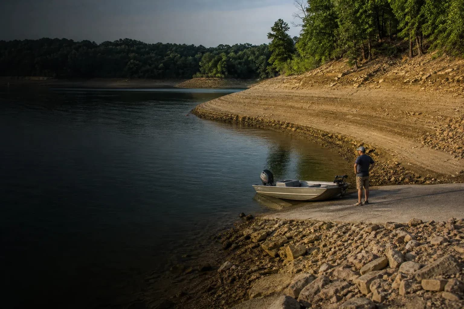
Low water pulls the shoreline downslope. The horizontal change is large on a flat bank and small on a steep one.
Several practical things can happen at once:
- shallow cover may be exposed or left in very little water;
- a broad flat may shrink dramatically;
- a point may become longer or break the surface;
- a backwater connection may become too shallow to pass;
- ramps may have limited usable length;
- rocks, stumps, bars, and old roadbeds may sit closer to the surface;
- the first meaningful break may be farther from the current shoreline.
This is where a map can become falsely reassuring. The shape is familiar, but the safe route and usable access may have changed.
Low water also gives you information. Exposed shoreline can reveal rock, clay, sand, timber, old foundations, and continuation of structure below the surface. Observe it from a safe, legal location and remember that a dry object today may become a submerged hazard when the lake refills.
Rising water creates new edges
High water pushes the shoreline uphill. It can flood grass, brush, timber, paths, and other cover that was previously dry.
It can also:
- open shallow connections into backwaters;
- put more water over flats and shoreline points;
- move the visible bank away from the mapped shoreline;
- reduce overhead clearance at bridges;
- increase current near inflows, outlets, and constrictions;
- float debris into areas that were clear at normal pool.
The original contour map may still describe the permanent bottom, but the temporary shoreline and cover can be entirely different. Satellite imagery captured at another level may disagree too.
Treat newly flooded water as new habitat and a new navigation problem. A map made at normal pool will not mark every fence, stump, picnic table, or piece of debris now below the surface.
Reservoirs require a pool-level habit
On a managed reservoir, checking the current pool should be part of trip planning.
Look for the operator's official project page, water-control dashboard, or gauge. The U.S. Army Corps of Engineers, Bureau of Reclamation, power utilities, and local water authorities publish level information for many managed waters. Some show current elevation, recent trend, inflow, and release. Others report depth above or below a named conservation or normal pool.
Write the difference beside your first waypoint. “Pool 5.2 ft low” is more useful at the ramp than trying to remember which website you checked the night before.
Trend matters too. A stable lake five feet low and a lake falling a foot per day can present different access, current, and debris conditions even at the same elevation.
Natural lakes can shift quietly
Natural lakes do not have a “normal pool” control in the same sense as many reservoirs, but their levels still change.
Rain, drought, snowpack, groundwater, outlet restrictions, beaver activity, seiches, and wind setup can all alter local or lake-wide level. In the Great Lakes, prolonged regional cycles and short-term wind effects both matter. On small lakes, the best available information may be a local gauge, agency bulletin, ramp condition report, or careful comparison at the water.
Do not assume a missing gauge means a stable surface. It means you have less measured information.
Coastal and Great Lakes charts add datum rules
On tidal water, “today's level” changes throughout the day. NOAA explains that a tidal datum is a reference derived from long-term water-level observations. Charted soundings are tied to that reference, not to the surface at the moment you open the chart.
The Great Lakes and non-tidal inland waterways use different chart-datum systems. Do not transfer a tidal correction method to an inland lake just because both maps contain depth numbers.
For waters covered by official navigation products, use the chart, current observations, and local notices intended for that purpose. A fishing depth map remains fishing guidance.
Why mapped depth and sonar can still disagree after adjustment
Water level is only one source of difference.
Your live reading and the map can diverge because of:
- survey interpolation between sounding lines;
- horizontal positioning error;
- an old or changed lake bed;
- sedimentation, scour, or dredging;
- aquatic vegetation affecting the sonar return;
- transducer placement or calibration;
- a map contour interval that rounds detail;
- an approximated rather than measured basin;
- mismatched units or datums.
If the offset is consistent across an area, a water-level difference is plausible. If it changes wildly from place to place, survey detail, map alignment, vegetation, or bottom change may be involved.
What “survey-backed” means explains why measured origin and present-day accuracy are related but not identical.
Calibrate your plan at the first safe opportunity
Once you are on the water, compare the map with live depth in a broad, hazard-free area where the bottom should be easy to interpret.
Do not race to an exact coordinate to prove the map right or wrong. Approach conservatively. Look for a general pattern:
- Are live readings consistently three feet shallower?
- Does the break begin in roughly the mapped location?
- Is disagreement limited to vegetation or a river mouth?
- Does the shoreline show obvious high- or low-water evidence?
Use that information to shift the day's fishing-depth plan. Keep watching; one reading is not a lake-wide calibration.
A water-level checklist for map planning
Before launch:
- identify the map's survey date and reference elevation if published;
- check the current official lake or pool level;
- confirm that both elevations use the same datum before calculating an offset;
- note whether the level is rising, falling, or stable;
- verify ramp, bridge, and access conditions;
- move target depths cautiously rather than moving every waypoint blindly;
- carry official navigation information where applicable.
On the water:
- compare charted and live depth in a safe area;
- watch for exposed or newly flooded hazards;
- expect the current shoreline to differ most on gradual slopes;
- revise the plan when the observed offset is not consistent.
You can use How to find fishing spots on a lake map to build the original three-stop plan. Water level is the correction that makes that plan fit the lake you have today rather than the lake the survey had years ago.
And remember: adding or subtracting a level difference improves fishing context. It does not convert a fishing map into a navigation chart.